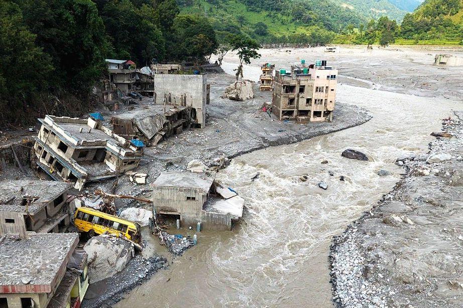
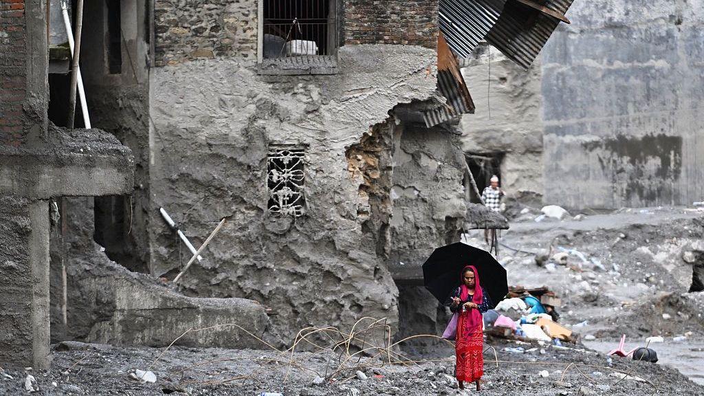
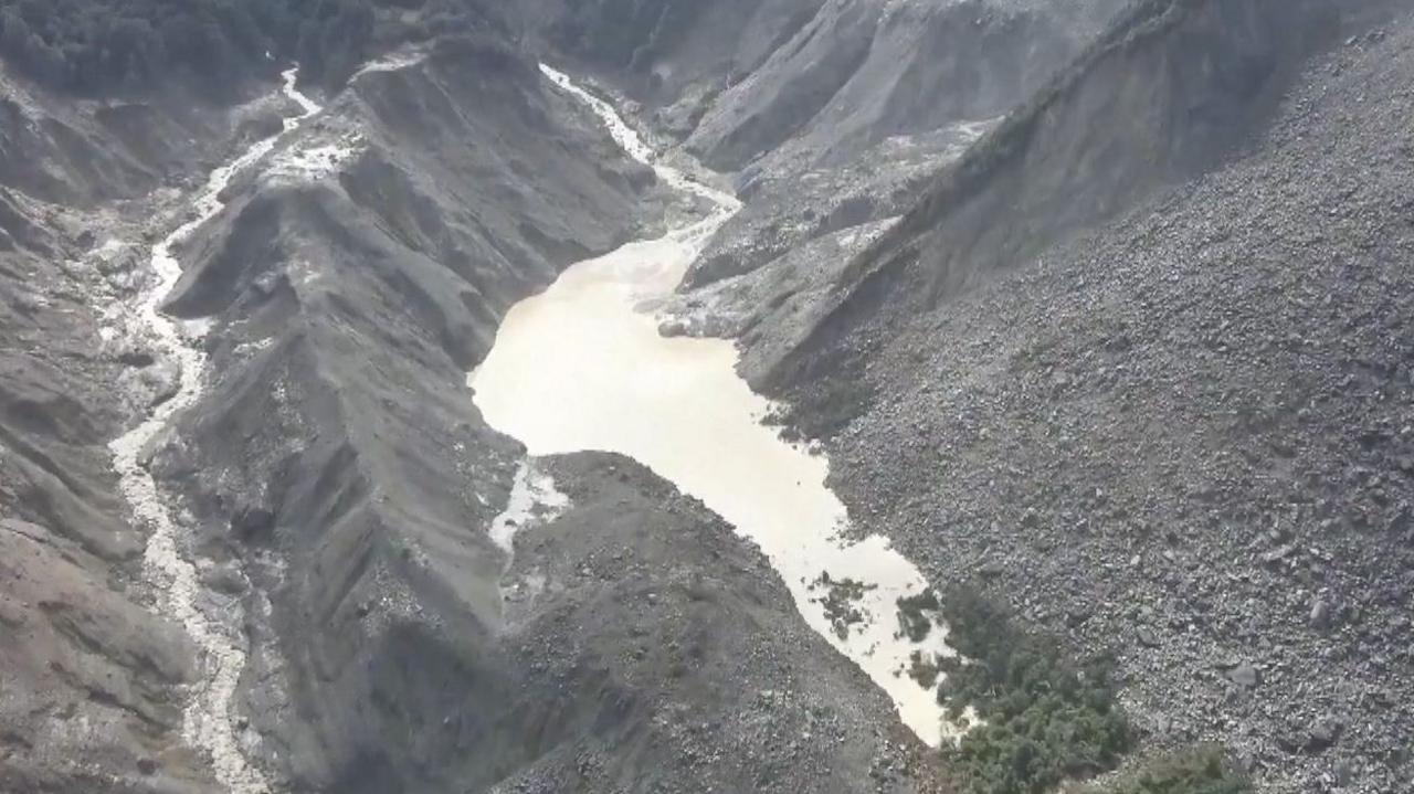
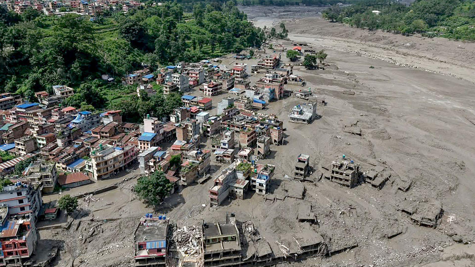
New satellite images released by the US-based intelligence firm Vantor reveal that a flash flood, triggered by a glacier collapse, swept through Nepal’s Trishuli River valley and left villages, bridges and a hydroelectric power station in ruins. The scale of the devastation is now clearer than ever.
According to Nepali officials more than 550 people have died and hundreds more are missing. Across the valley the flood water – driven by a sudden surge of rock, mud and debris – entered homes, swept bridges downstream and even inundated a key Nepal‑Tibet border crossing, which has now disappeared behind a wall of water.
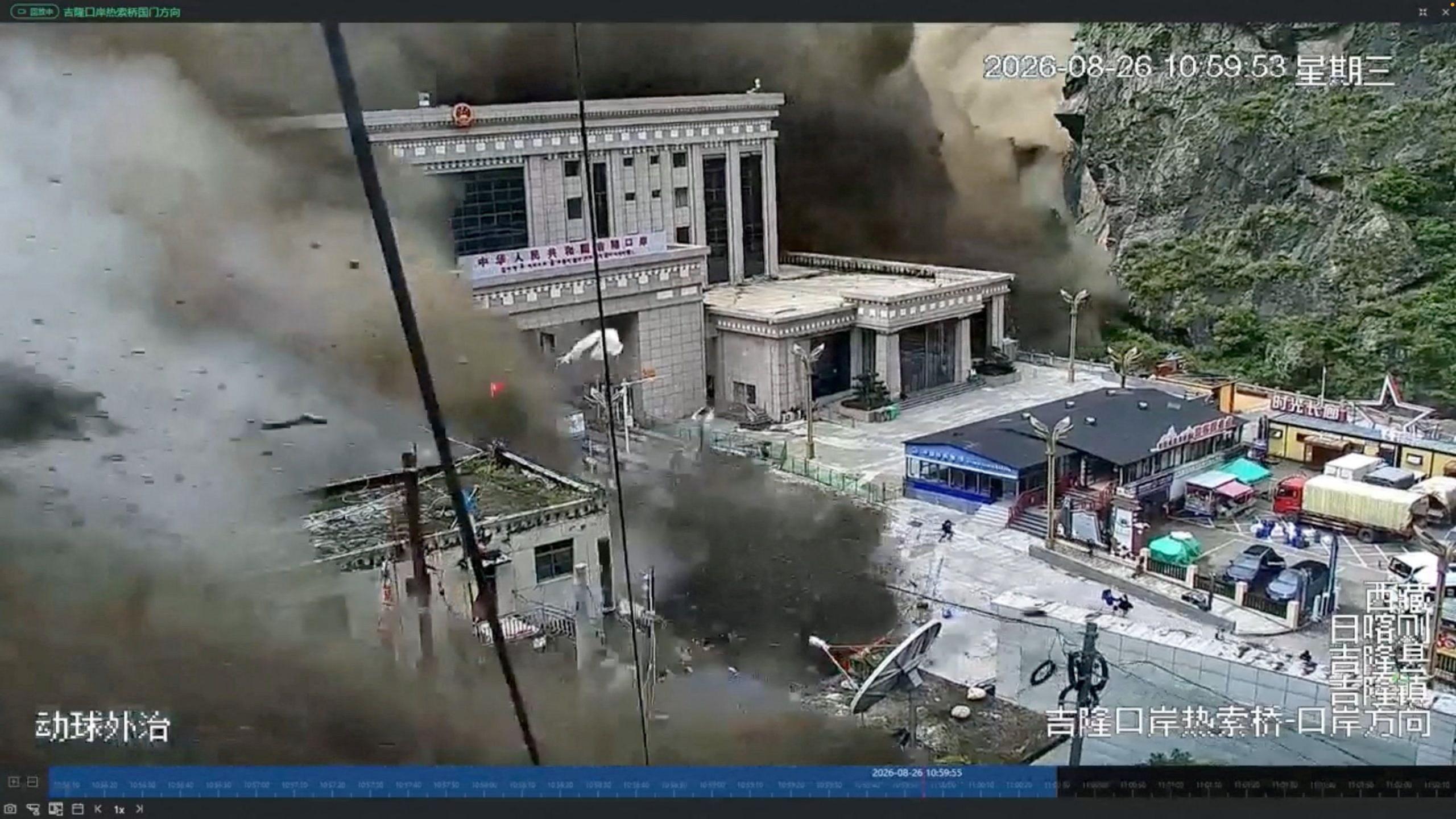
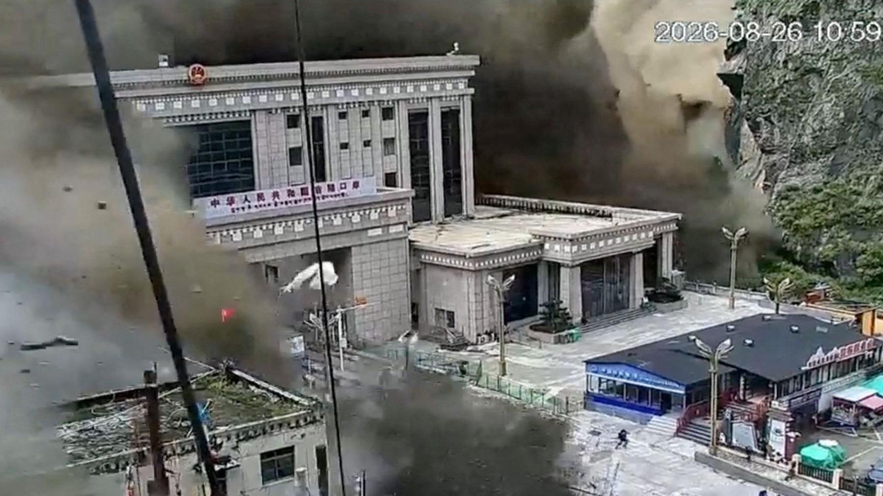
CCTV footage shows the border station’s structures being lapped by water as people struggled to escape. While the crossing remains inaccessible, the satellite image shows the area almost entirely submerged, confirming the severity of the on‑the‑ground situation.
The images also show damage far up the valley. In the village of Timure, houses perched on steep slopes have been erased or buried under mud. Downstream a 10‑kilometre stretch of the Trishuli River now contains a large barrier lake formed as the landslide jammed the river, creating a new flood risk for downstream communities.
Dr Argha Banerjee, a glaciologist at the Indian Institute of Science Education and Research, says the lake’s surface is stable, but the volume of water could rise if the barrier breaks. He warns that a sudden breach could unleash a second wave of floodwater.
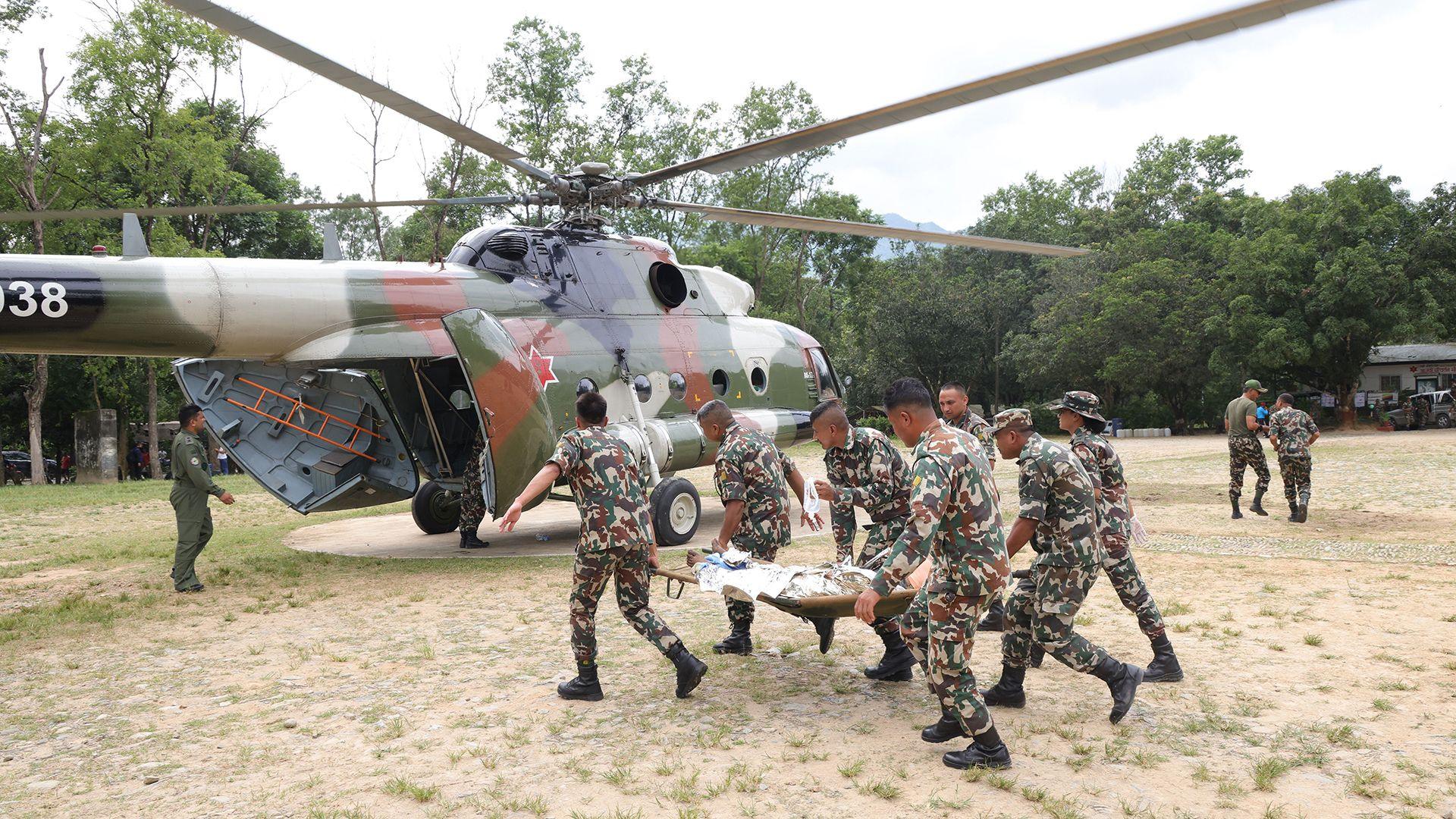
The satellite data has been released as part of Vantor’s Open Data Program, giving aid workers a map of affected areas to direct search and rescue teams. By pinpointing exactly where villages, bridges and power stations have been lost, the imagery is a crucial tool for locating the missing, salvaging the dead and planning recovery.