
In brief
A potent winter storm is moving through the United States, threatening blizzard-like conditions and treacherous travel in the Upper Midwest, specifically North Dakota and Minnesota. As high winds and heavy snowfall are expected, areas along the Great Lakes could experience over a foot of snow. Meanwhile, in the South, a cold front is bringing a sharp decline in temperatures after record warmth, causing widespread concerns.
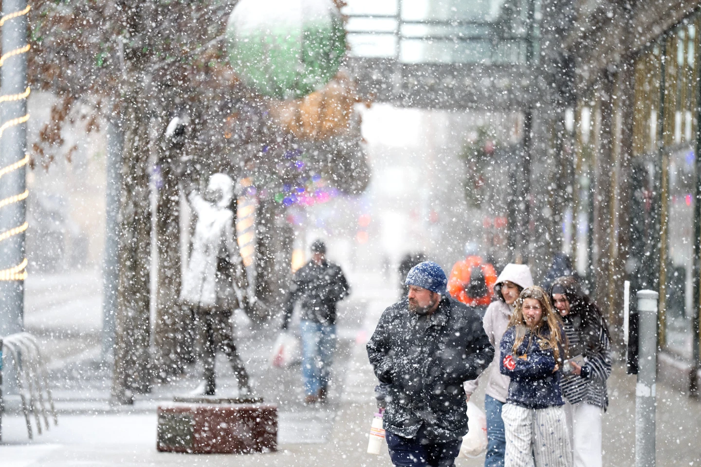
A potent winter storm is bearing down on the Upper Midwest, threatening blizzard conditions alongside dangerous travel conditions and possible power outages. Other regions of the nation are also bracing for rapidly declining temperatures, strong winds, and a mix of winter precipitation including snow, ice, and rain.
Snow and increasing winds began to blanket the northern Plains on Sunday, where the National Weather Service has issued warnings for whiteout and blizzard conditions, indicating that travel could be nearly impossible in some areas. Snowfall could accumulate beyond a foot (30 cm) in parts of the upper Great Lakes, with even higher totals expected along the south shore of Lake Superior.
Part of the storm system is dumping heavy snow, while other areas along the cold front are experiencing stronger winds and much colder temperatures, noted Bob Oravec, a lead forecaster at the National Weather Service. These different impacts are interrelated — various regions of the country will experience differing effects from this storm system.
Dangerously frigid wind chills, plummeting to minus 30 degrees Fahrenheit (minus 34.4 degrees Celsius), are anticipated across North Dakota and parts of Minnesota from Sunday night through Monday.
In the South, meteorologists predict severe thunderstorms as a drastic cold front arrives, resulting in a swift drop in temperatures and strong northerly winds, bringing an abrupt end to days of record warmth.
On Sunday, Atlanta saw a high of around 72°F (22°C), continuing a trend of unusually warm temperatures. However, this pattern will shift as the cold front moves in, with nighttime temperatures expected to plunge to 25°F (minus 3.9°C) by early Tuesday. Similar temperature drops are likely in other southern cities, including Dallas and Little Rock.
The storm is projected to intensify as it moves east, taking on energy from a stark clash between cold air descending from Canada and the persistent warmth lingering over the southern United States, according to forecasters.