
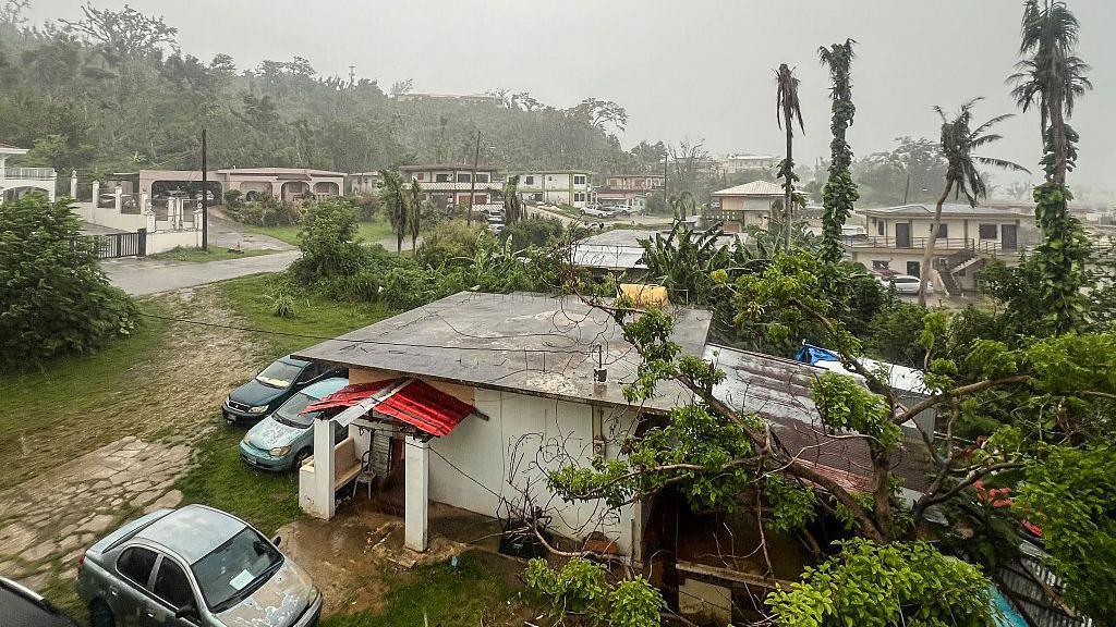
In brief
Super typhoon Bavi is heading toward Guam with winds exceeding 257 km per hour and waves that could reach 11 metres. As the storm approaches, emergency teams have opened five evacuation centres in the island for vulnerable residents, with one already full. Local businesses and travellers are taking protective steps, from plywood‑bolstered windows to cancelled flights. Climate experts link the storm’s intensity to a strong El Niño and rising sea temperatures, pointing to a trend toward more frequent super typhoons.
Family homes are being boarded up and schools opened as emergency officials urge residents to leave vulnerable areas ahead of the storm.
Super typhoon Bavi is expected to make landfall early Monday morning with winds of up to 257 km per hour. The US National Weather Service describes the storm as highly dangerous and warns of catastrophic damage. Sea waves could reach up to 11 m high.
Guam has opened five evacuation centres; each can hold around 1,700 people. One centre has already reached full capacity, forcing organisers to shift people to another location.
Penny Cubacub, a 55‑year‑old restaurant owner, spent $500 on plywood to protect her windows. She says the storm threatens to stop her business in a place where payroll support is fragile.
Japanese tourist Miku Sakurai has had her flight to Tokyo cancelled, reluctantly staying in a hotel while authorities monitor the storm. She admits feeling frightened during the evacuation period.
According to the Joint Typhoon Warning Center Bavi will have wind speeds of 150 knots and gusts as high as 180 knots. That reaches hurricane‑level power in the U.S. for a category four or five.
Climate analysts say a strong El Niño being active in the Pacific is pushing more storms into these high‑intensity categories. Warmer sea surface temperatures increase atmospheric moisture, making storms more powerful.