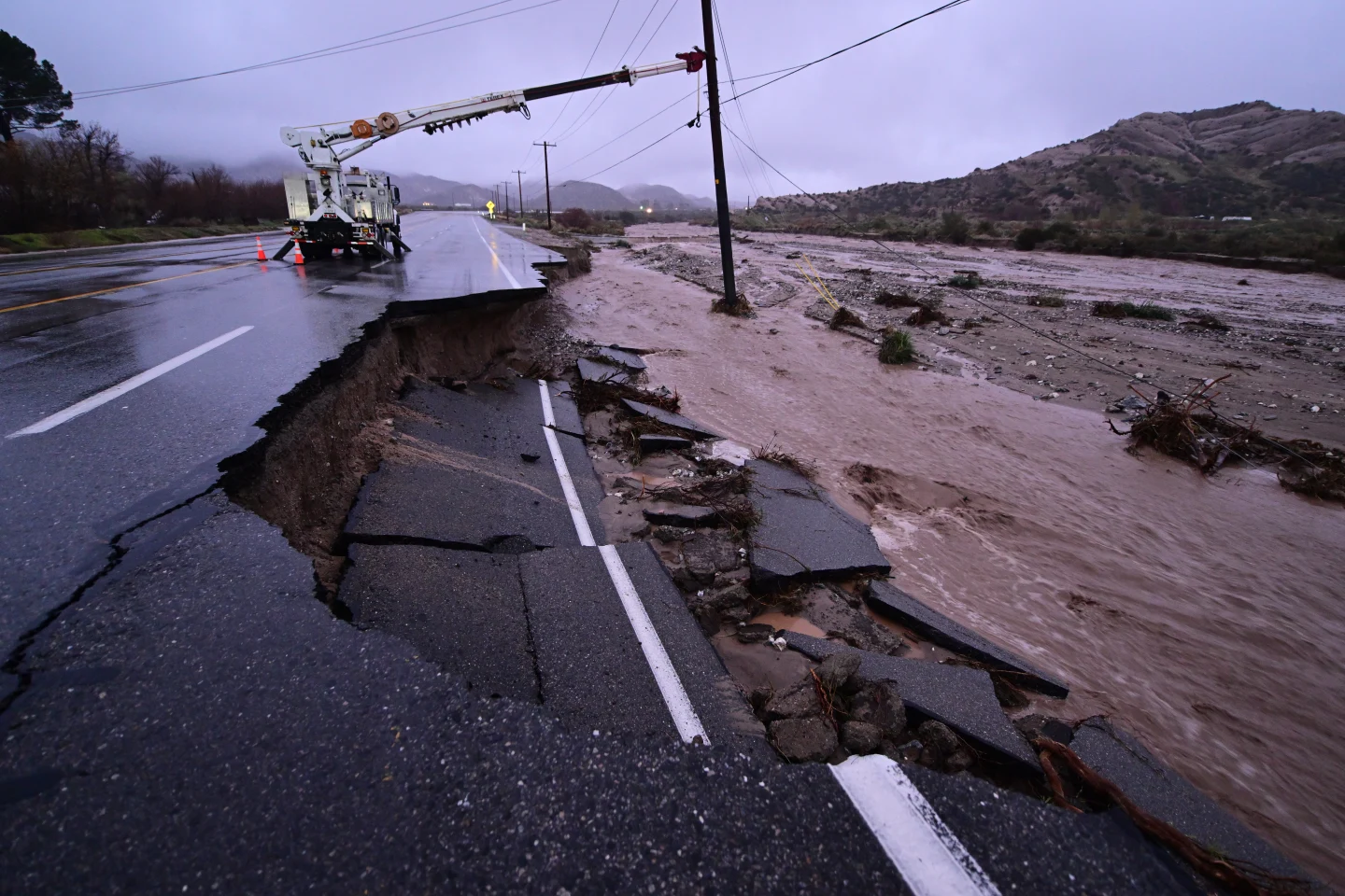
Hurricane Erin has made headlines as it has rapidly intensified into a category five storm in the Atlantic, boasting maximum sustained winds of 160 mph (260 km/h). This dramatic escalation was reported by the National Hurricane Center, with Director Mike Brennan emphasizing the "extremely powerful" nature of the storm after it intensified explosively from tropical storm status on Friday. Erin is on a path that will take it north of the Leeward Islands, Virgin Islands, and Puerto Rico over the weekend, potentially leading to flash flooding and mudslides with rainfall expected to reach 6 inches (15 cm).
This hurricane marks the first of the 2025 Atlantic hurricane season and, as of now, there are no forecasts predicting it will make landfall on the U.S. mainland. Within just a day, Erin's wind speeds have surged from 100 mph early on Saturday morning to an impressive 160 mph. Looking ahead, Hurricane Erin is projected to continue northward, passing east of the Bahamas before heading towards North Carolina's Outer Banks next week.
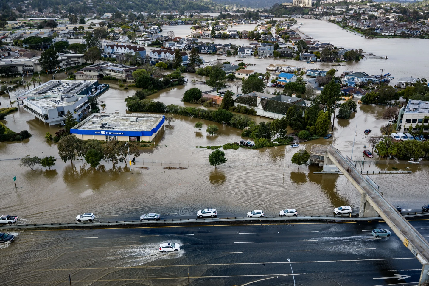
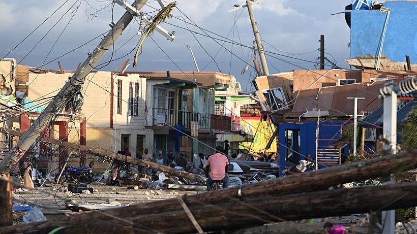
The resulting lifethreatening surf and rip currents are anticipated to impact nearly the entire eastern coast of the U.S., with Florida and mid-Atlantic states experiencing the most hazardous conditions. Bermuda may also encounter dangerous surf and heavy rainfall. In response to gale force winds, the U.S. Coast Guard has enacted restrictions on vessels operating at ports in St. Thomas, St. John, and several municipalities in Puerto Rico, including San Juan. Furthermore, the National Oceanic and Atmospheric Administration (NOAA) has predicted an "above normal" hurricane season, with rising temperatures contributing to an increase in severe storms reaching category four and five.