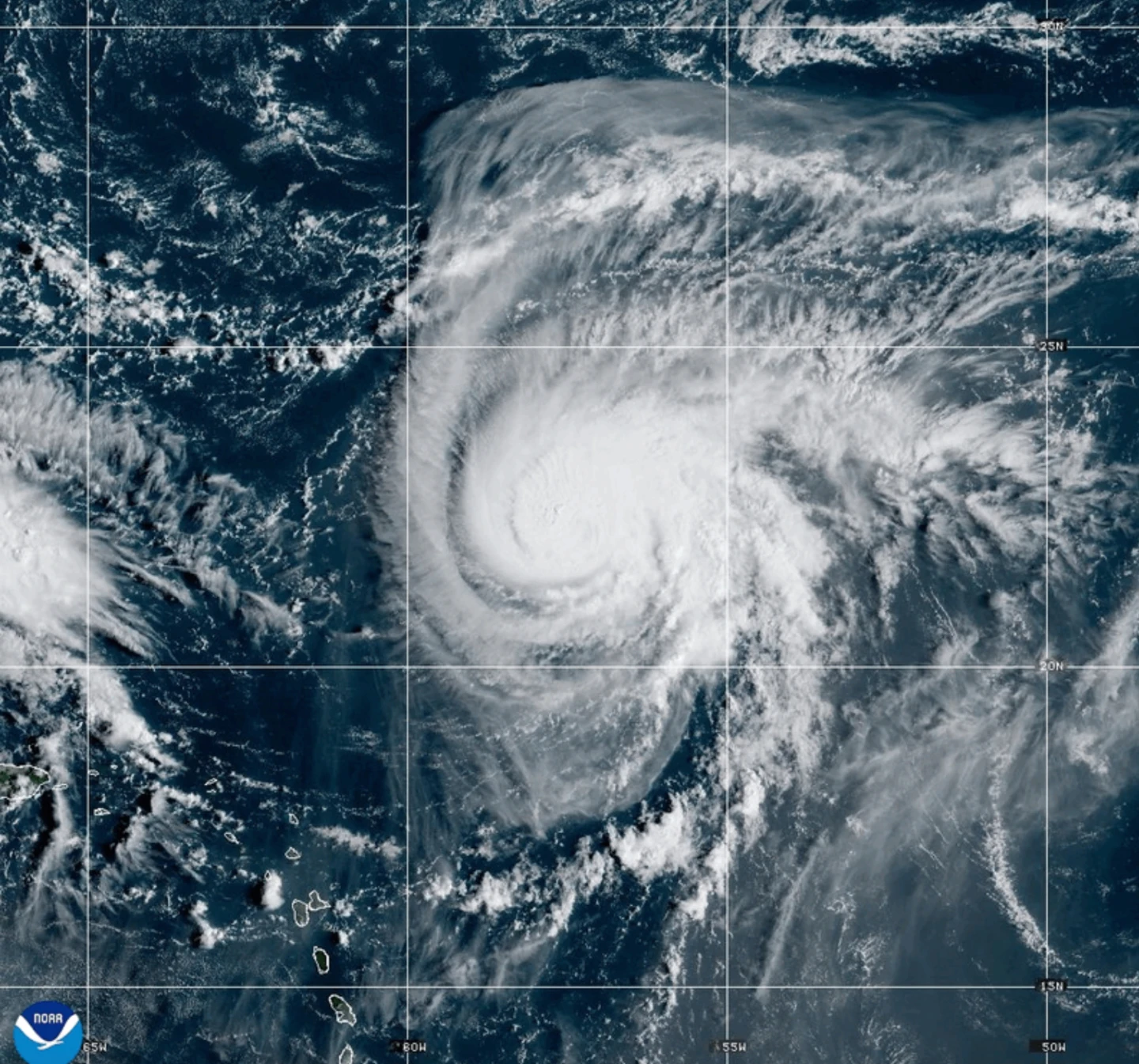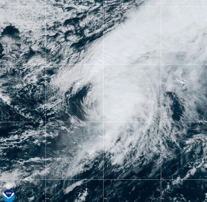
MIAMI (AP) — A fast-moving Hurricane Gabrielle is set to lash the Azores islands with heavy rain, high winds, and storm surges starting Thursday night through early Friday, according to forecasters.<\/p>
A hurricane warning is currently in effect for all islands in the volcanic archipelago, with the Miami-based National Hurricane Center warning residents to finalize preparations. Gabrielle is located approximately 455 miles (730 kilometers) west of the Azores with maximum sustained winds of 75 mph (120 kph), traveling east at 32 mph (52 kph).<\/p>
Forecasters anticipate the arrival of dangerous swells, bringing life-threatening surf and rip current conditions by late Thursday. Significant waves from the storm are also expected to impact Bermuda, the northeastern U.S. coast, and Atlantic Canada.<\/p>
As Gabrielle approaches, it is expected to maintain hurricane strength as it passes through the Azores before gradually weakening over the weekend. Despite the storm center moving past the islands, hurricane-force wind gusts are likely to continue affecting various regions.<\/p>
Heavy rain is predicted, with amounts reaching up to 5 inches (13 cm) in central Azores. This may lead to flash flooding, especially in mountainous areas. Eastern and western regions could see up to 3 inches (8 cm) of rain.<\/p>
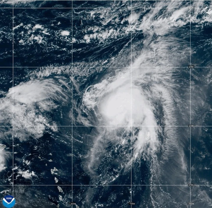
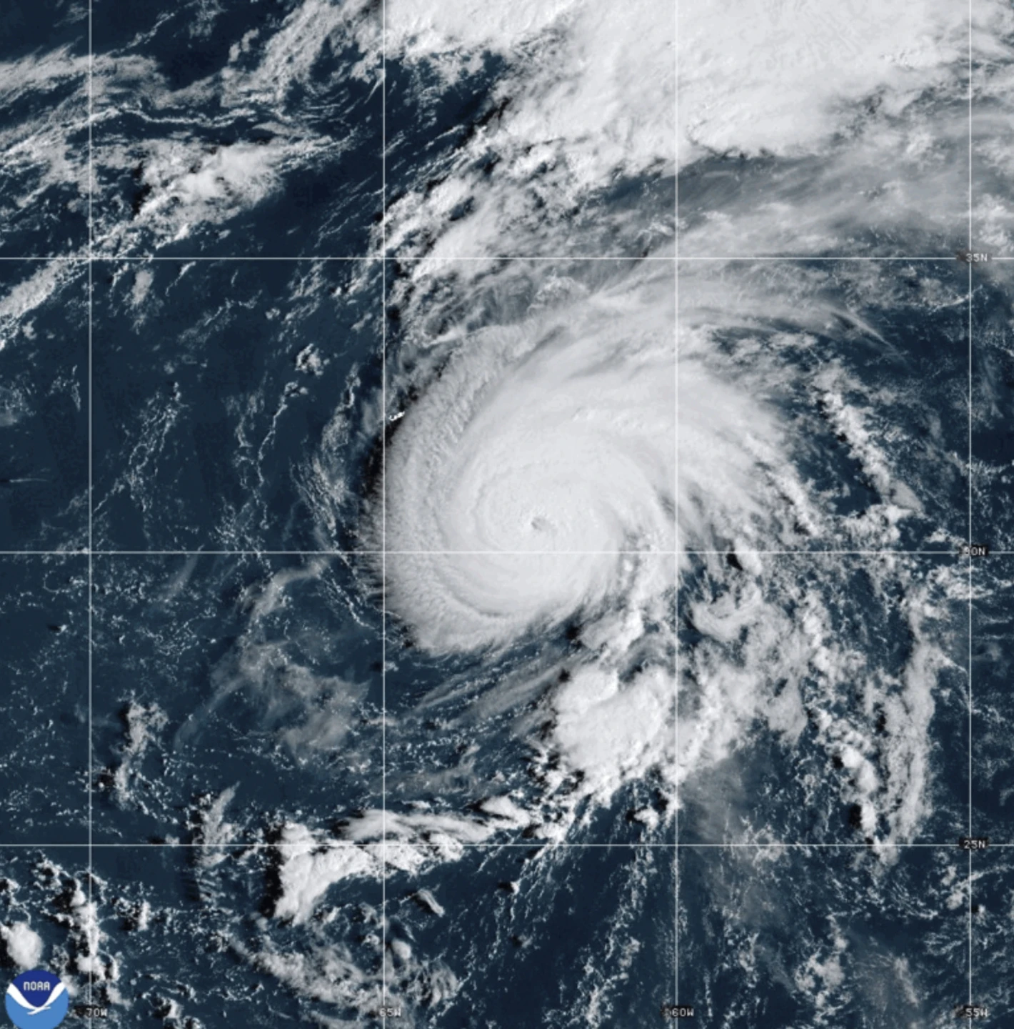
Meanwhile, Tropical Storm Humberto, which formed near the Caribbean, is also evolving, with forecasters predicting it may strengthen significantly into a hurricane over the weekend. Additionally, Hurricane Narda is moving away from Mexico, but is expected to restrengthen into a Category 2 storm by Friday.