MIAMI (AP) — A weather system that is forecast to become Tropical Storm Imelda later in the day before approaching the coast of South Carolina as a hurricane early next week was causing disruption in the Bahamas and nearby islands on Sunday.
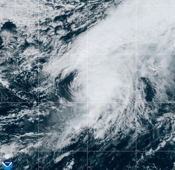
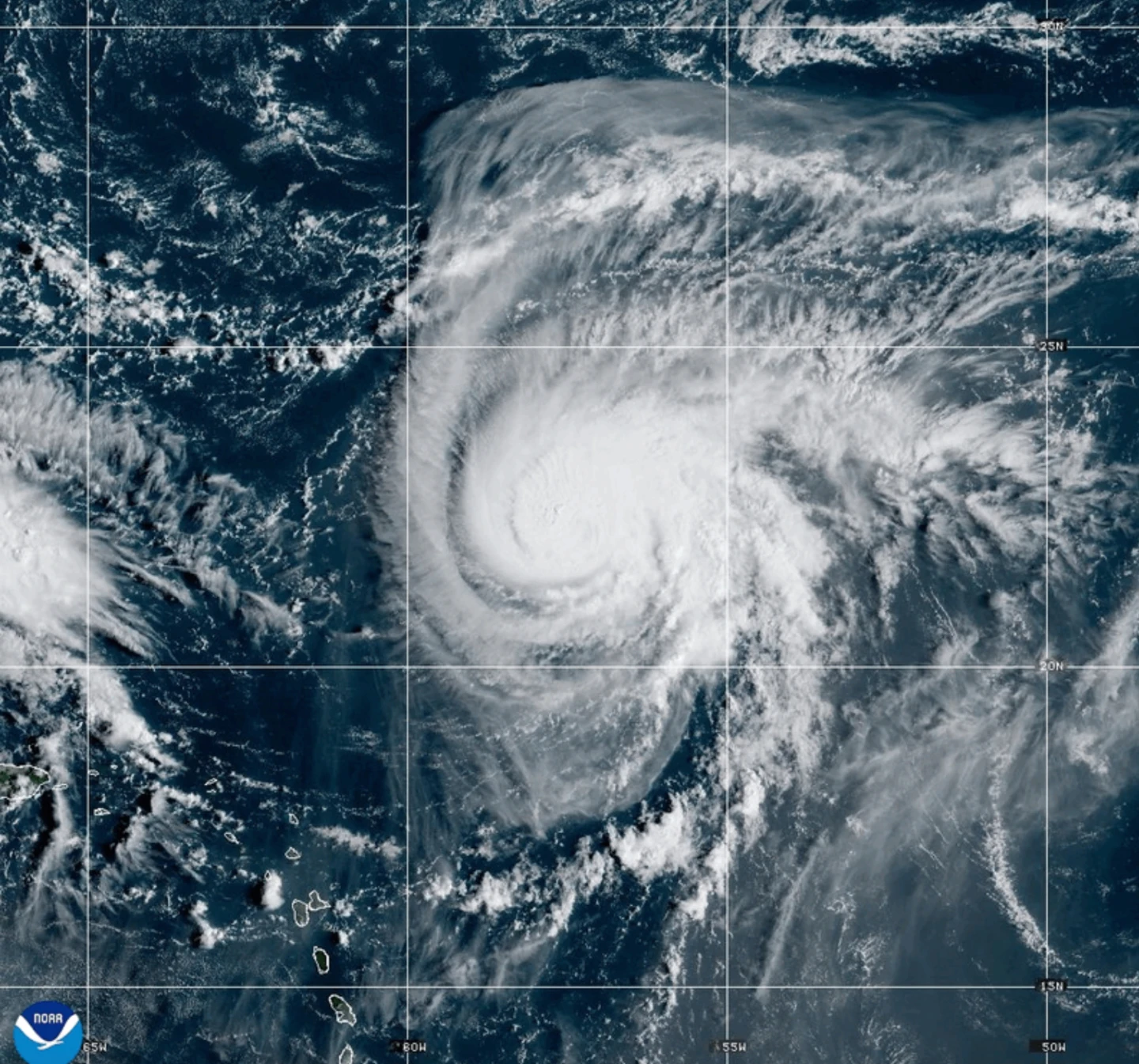
Meanwhile Hurricane Humberto weakened slightly but remained a strong Category 4 storm in the Atlantic, threatening Bermuda.
South Carolina Gov. Henry McMaster urged citizens to monitor the weather closely, emphasizing the storm's potential dangers. North Carolina’s Gov. Josh Stein declared a state of emergency in anticipation of the system, currently dubbed Tropical Depression Nine.
Forecasters indicated this system is poised to be named Imelda as it transitions into a tropical storm and likely a hurricane by late Monday or Tuesday.
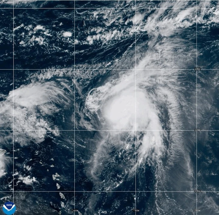
As of 0900 GMT Sunday, the system was located about 100 miles (160 kilometers) west-southwest of the Central Bahamas, moving north-northwest at 7 mph (11 kph) with maximum sustained winds of 35 mph (55 kph).
Gov. McMaster highlighted the unpredictability of storm paths during a news conference, warning that this storm is 'deadly serious'. Preemptive measures include the positioning of search and rescue teams throughout South Carolina.
Forecasters project the storm could bring substantial winds and rainfall, generating potential flooding across vulnerable areas.
Hurricane Humberto Weakens Slightly but Remains Major Threat
Hurricane Humberto still boasts maximum sustained winds of 155 mph (250 kph), classified as a Category 4 hurricane. It is currently located about 585 miles (945 kilometers) south of Bermuda, progressing west-northwest at 13 mph (20 kph).
Forecasts suggest a tropical storm watch may be issued for Bermuda later today, and swells from the storm could reach the U.S. east coast by Monday.
Tropical Depression Nine poses additional threats to regions in Cuba and the Bahamas with anticipated heavy rainfall and flash flooding warnings already in effect.
The Bahamas' Department of Meteorology has called for residents in the northwest and central islands, including Nassau and Long Island, to finalize preparations for tropical storm conditions.
Residents in low-lying areas have been warned to take precautions against potential property damage due to flooding.
The disturbance already caused heavy rain in the Dominican Republic on Friday, leading to evacuations in several provinces amid a declared red alert.
In the Pacific
Tropical Storm Narda, once a hurricane, is located approximately 1,045 miles (1,680 kilometers) west-southwest of Baja California Peninsula, moving north at 5 mph (7 kph) with sustained winds at 60 mph (95 kph).
Swells produced by Narda are affecting coastal Mexico and Baja California Sur, with dangerous surf and rip currents anticipated in Southern California.