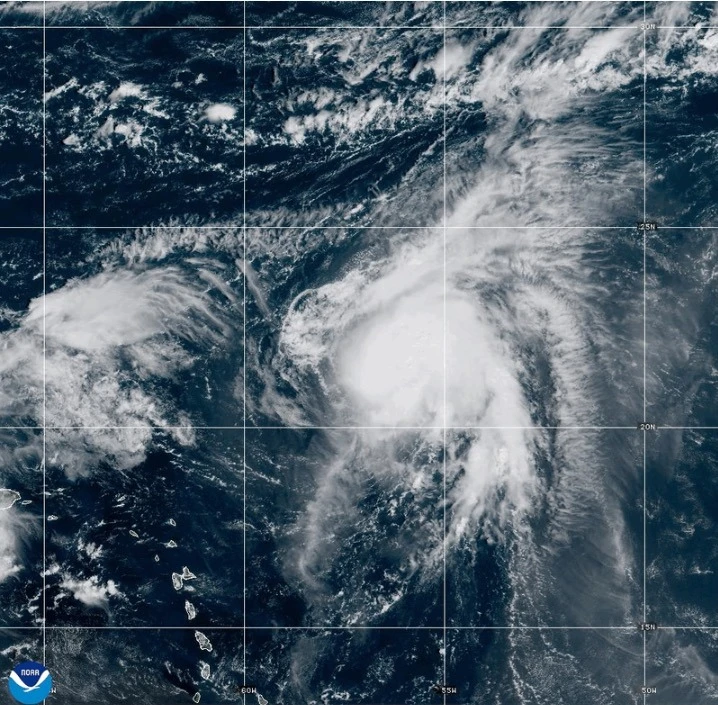
MIAMI (AP) — Hurricane Humberto has emerged in the Atlantic Ocean, although it poses no immediate threat to land. This development occurs as the remnants of Hurricane Gabrielle passed over the Azores on Friday, according to meteorologists.
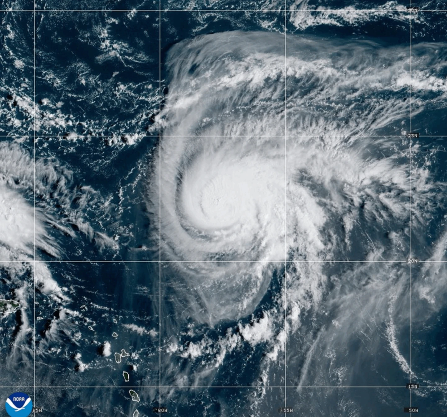
Currently, Humberto is approximately 465 miles (750 kilometers) northeast of the northern Leeward Islands and moving slowly toward the northwest. Experts from the Miami-based U.S. National Hurricane Center predict that Humberto will significantly strengthen this weekend, potentially reaching major hurricane status.
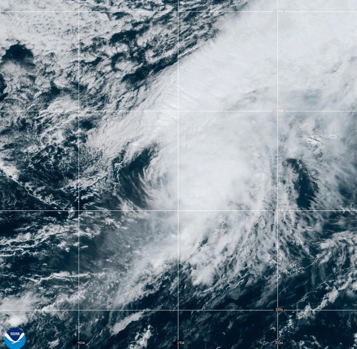
In the meantime, Gabrielle is churning nearby as a post-tropical cyclone, with a hurricane watch issued for the entire Portuguese archipelago of the Azores. On Friday morning, Gabrielle was reported to be about 145 miles (230 kilometers) east-northeast of Faial Island in the central Azores, with maximum sustained winds of about 65 mph (100 kph) and higher gusts.
The storm system is expected to weaken gradually starting Saturday. Tropical storm force winds have extended out to approximately 160 miles (260 kilometers), and an observatory recorded sustained winds of 78 mph (126 kph), indicating a hurricane-level threat.
Previously categorized by the hurricane center as post-tropical, Gabrielle lacks the typical characteristics of a tropical storm, yet it still poses a risk for severe weather impacts.
Across the Pacific, Hurricane Narda remains a Category 1 storm, potentially regaining strength to Category 2, but it also poses no immediate threat to land, forecast to weaken in the upcoming days.