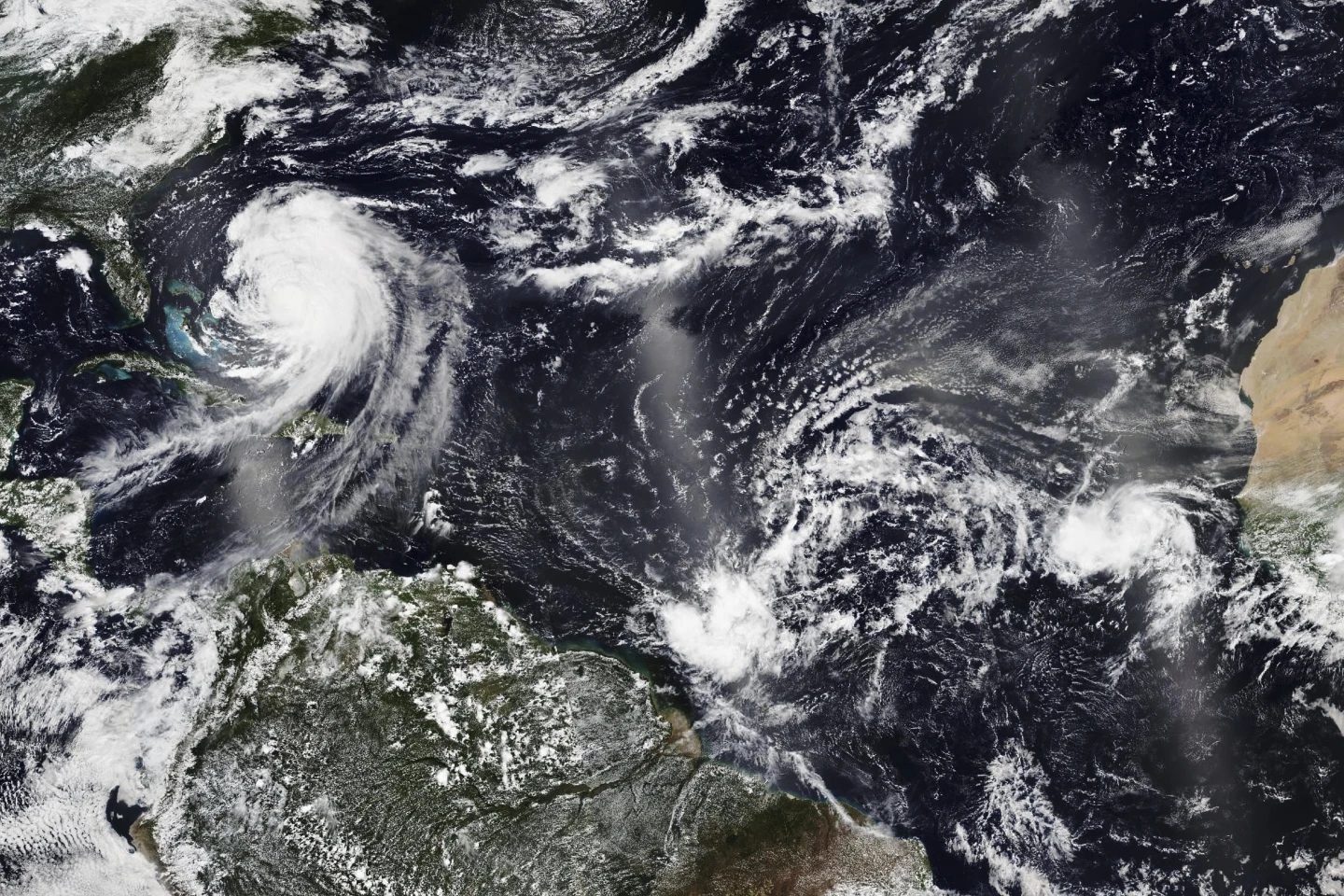
MIAMI (AP) — Dangerous tropical weather is brewing in the Atlantic Ocean as Humberto intensifies into a powerful Category 4 hurricane and a weather system gains strength and targets the Southeast U.S.
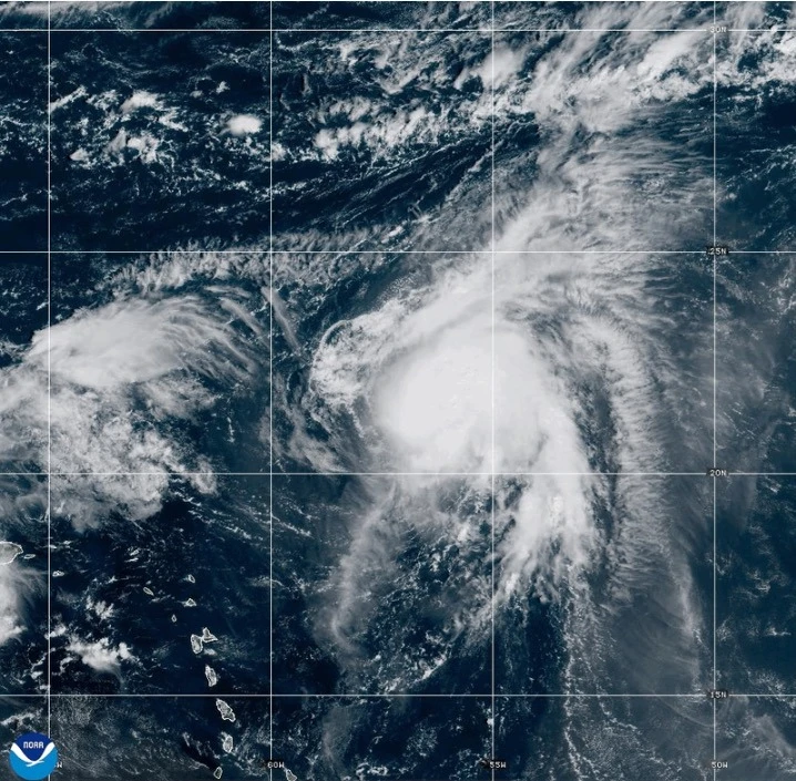
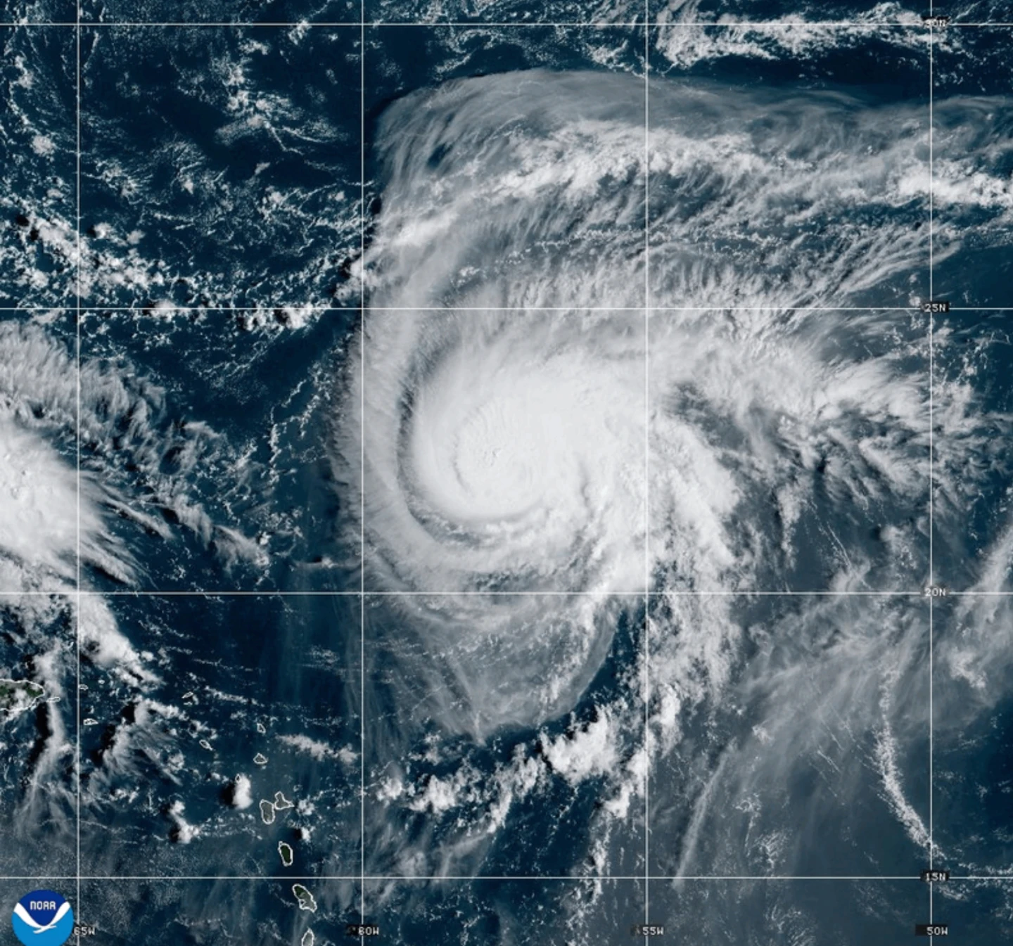
Hurricane Humberto has reported maximum sustained winds of 145 mph (230 km/h), located approximately 375 miles (605 km) northeast of the northern Leeward Islands, moving west at 6 mph (9 km/h).
The storm poses significant threats of life-threatening surf and rip currents impacting the northern Leeward Islands, the Virgin Islands, Puerto Rico, and Bermuda.
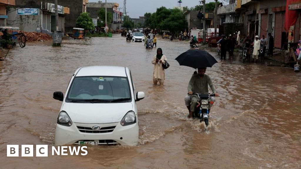
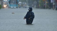
Simultaneously, a developing weather system is projected to strengthen into a tropical storm over the weekend, threatening the Bahamas and Cuba with heavy rains and flash flooding. Currently, parts of the Bahamas are under a tropical storm warning.
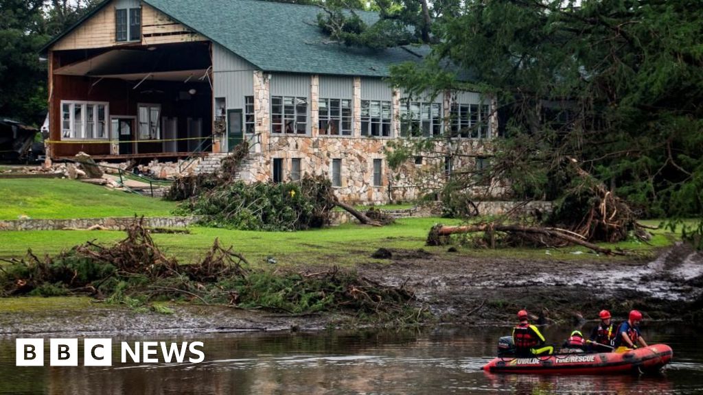
Expected to approach the Southeast U.S. early next week, forecasts indicate gradual strengthening into a tropical storm by Sunday, possibly transforming into a hurricane by late Monday.
On the ground, South Carolina Governor Henry McMaster declared a state of emergency in anticipation of potential impacts from the storm, facilitating state coordination with local and federal officials to ensure readiness.
Preparations in Charleston include gathering sandbags and checking high-water vehicles in preparation for flooding, illustrating the seriousness with which authorities are responding to the situation.
As the weather system impacts follow through, the Dominican Republic has experienced acute adverse weather, prompting evacuations and a declared red alert in five provinces due to flood risks resulting from significant rainfall.
Meanwhile, post-tropical cyclone Gabrielle has moved away from the Azores, and related advisories have been adjusted accordingly, with the potential for hazardous surf affecting parts of Portugal and Spain.
The Federal Emergency Management Agency has warned residents in coastal areas of the Southeast U.S. to stay vigilant, promising swift responses if necessary as the weather developments unfold.