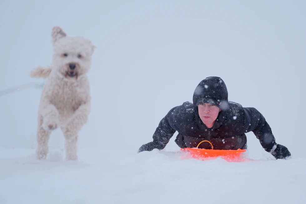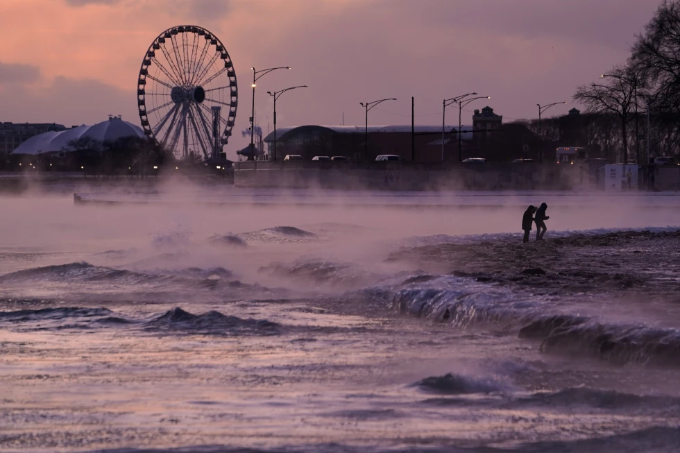
The U.S. Midwest is enduring extreme weather conditions as a sharp cold front brings bitter cold and wind chills approaching near-zero temperatures.
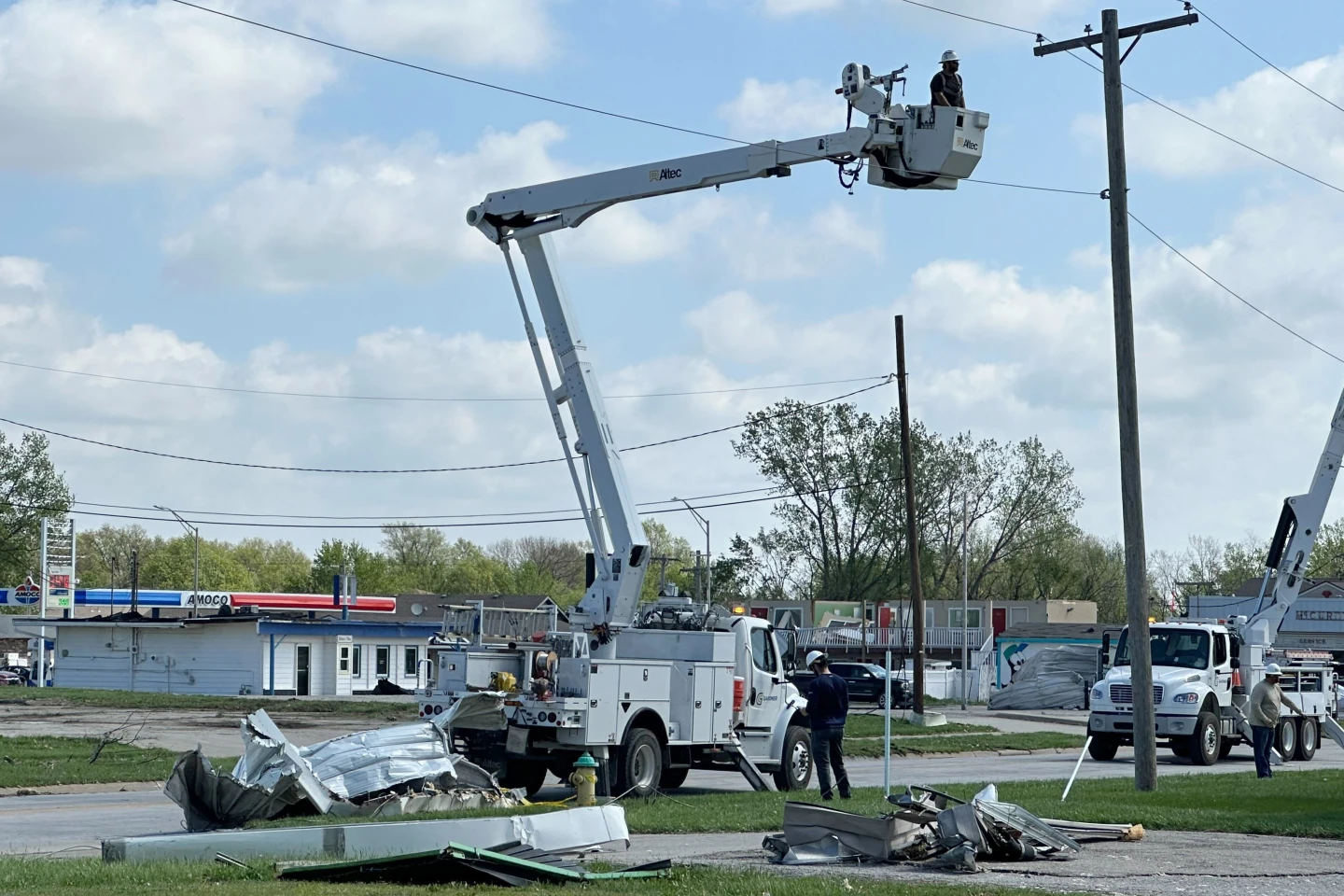
Forecasters have reported that regions including Iowa, Nebraska, Minnesota, and Wisconsin are impacted significantly as utilities strive to restore power to around 74,000 customers left in the dark due to recent storms.
Heavy snowfall and winds aggravated travel difficulties as the cold air followed a bomb cyclone system that strengthened rapidly, causing considerable disruptions. Nick Korstad from Michigan’s Upper Peninsula described this storm as the strongest he's seen since moving there, with winds reaching up to 75 mph.
Temperatures in parts of Wisconsin are forecasted to fall into single digits, dropping as far as minus 10 degrees Fahrenheit, with extreme wind chills potentially reaching dangerous levels of minus 25 degrees Fahrenheit on New Year’s Eve.
Meanwhile, the Northeast is also bracing for winter weather warnings, as whiteout conditions are anticipated and New York's Governor Kathy Hochul urged residents to avoid unnecessary travel.
As the nation prepares for January, the cold is expected to persist. Areas downwind from the Great Lakes will experience intense lake-effect snow, leading to significant accumulations, particularly in western and upstate New York.
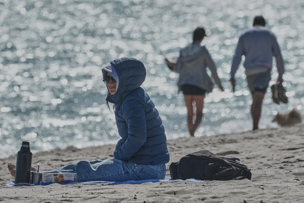
In contrast, the West Coast is currently dealing with Santa Ana winds and storms that could impact events like the Rose Parade with rain for the first time in decades.
Stay warm and safe as we transition into the New Year and prepare for more extreme weather challenges ahead.