HOUSTON (AP) — A blast of winter weather is projected to affect the Midwest and East Coast with snowfall and subfreezing wind chills this Saturday, alongside cold temperatures reaching parts of the southern states, notably Florida.
In northeastern Ohio, a snow squall is causing hazardous conditions, creating potential whiteouts as reported by the National Weather Service. The worst of the conditions is anticipated to impact the Cleveland metro area and extend into eastern Pennsylvania and parts of New York.
“Visibility may drop below a quarter-mile with rapid snow accumulation on roadways. Expect travel to be challenging and possibly hazardous in heavy snow,” warned the National Weather Service.
Below-average temperatures are expected across the Central and Eastern U.S. through the weekend into the beginning of next week.
The Weather Prediction Center indicated that the upcoming nights are likely to be extremely cold for a significant portion of the Central and Eastern United States. Sub-zero wind chills are anticipated from the Plains to the Midwest and Northeast, with the most severe chill expected in the Upper Midwest on Sunday evening.
Snowfall is projected to hit Connecticut, Massachusetts, and Rhode Island by Sunday night, with some regions potentially receiving up to four inches (10 centimeters) of snow.
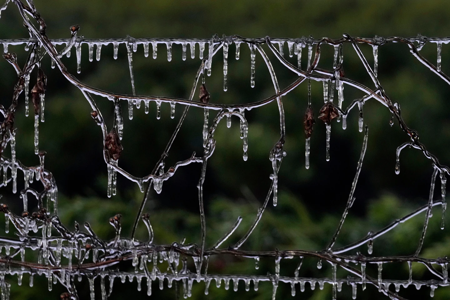
Furthermore, the cold front is not restricted to northern states as a freeze is forecasted in Oklahoma, Tennessee, Georgia, and Florida through the weekend.
In Tallahassee, Florida, locals might experience some snow on Sunday morning; however, accumulation is deemed unlikely due to warmer ground temperatures. “If snow does occur in Tallahassee, it will be minimal and not expected to stick,” said meteorologist Kristian Oliver.
This possible snowfall would mark the second consecutive year Florida faces winter weather, following significant snowfalls last January when parts of Florida received up to 10 inches (25 centimeters) due to a record-setting winter storm.
Forecasters are cautioning residents to prepare for impacts on travel as become roads slippery during and after the snow, especially into Monday morning with freezing temperatures expected.